Pedestrians Count Too: Towards a Smarter Walking-Flow Model
Author: Lianne Nelemans • Published: 11 May 2026 • Reading time: 3 minutes
How can a municipality make well-founded decisions about the allocation of scarce public space when reliable data on pedestrian volumes is missing? Commissioned by DRO-DMI and in collaboration with the municipalities of Amsterdam and Almere, AMS Institute, Dat.mobility (Goudappel Group), and TU Delft have developed a Proof of Concept that transforms the national walking-flow model from a descriptive mapping tool into a fully fledged policy instrument.
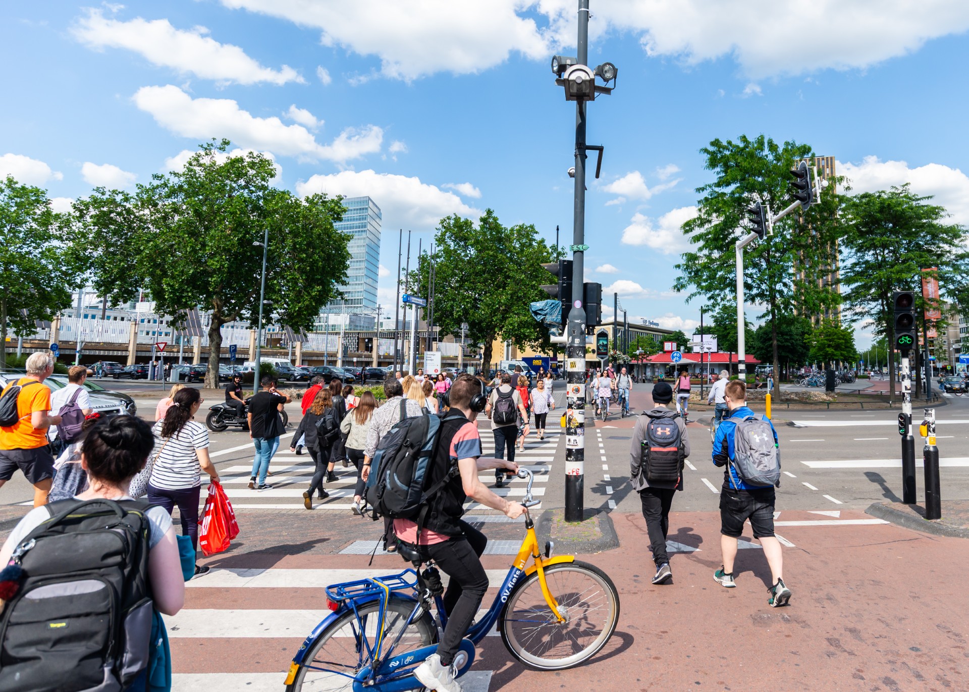
Cities are under increasing pressure to allocate scarce public space fairly and in a future-proof way between pedestrians and other modes of transport. Decisions on pavement width, redevelopments, and area development are, however, still too often taken without reliable data on where people walk and how those patterns will change in the future. This can be addressed by optimising the national walking-flow model. The Proof of Concept showed that walking-flow models can be concretely improved by:
1. Explicitly modelling busy origin-destination flows (OD flows), such as those between stations and other major points of attraction (think of educational institutions, museums, or other tourist attractions).
2. Model corrections for more accurate estimates (for example using additional measurements from the Dutch Mobility Panel) in places where model outcomes deviate significantly (in the case of area development, tailor-made analyses are recommended because measurements are not available).
3. Linking the model to available walking space and capacity bottlenecks, so that priorities can be set in dividing space between pedestrians, cyclists, and motorised traffic.
The central recommendation to municipalities is to invest in embedding these improvements in municipal GIS workflows and digital-twin platforms, so that model outcomes can be directly used in policy processes. The developed code and data are publicly available via GitHub. The new model can also calculate what-if scenarios: what happens to walking flows if a new residential district is added, or if a school is relocated? According to the participating municipalities, this is an important addition to purely observational data.
“When you redesign an area, you want to know how many people will then walk there. That gives you a better basis for the measures the pedestrian needs.”
— Frans Osté, City of Amsterdam
In short: this Proof of Concept delivers concrete recommendations for improving the national walking-flow model and for using it in policy processes. Investing in such instruments provides the foundation for making decisions and setting priorities when shaping public space.
Further reading
📄 Read the full policy paper: https://dro-dmi.nl/wp-content/uploads/2026/05/Policy-Paper-Loopstromenmodel_DRO-DMI.pdf
💻 Code and data are publicly available on GitHub: https://github.com/GG-DAT/poc_loopstromen
For more information about the model, contact DRO-DMI via https://dro-dmi.nl/contact/.
Source: DRO-DMI — https://dro-dmi.nl/voetgangers-tellen-mee-naar-een-slimmer-loopstromenmodel/